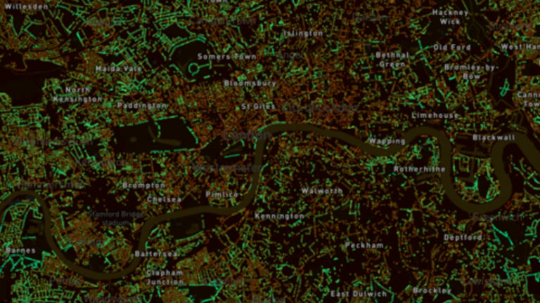
Are you interested in how your city ranks for green space? MIT’s Senseable City Lab have developed a new platform which allows you compare the canopy cover of different cities, countries, and continents across the world. Treepedia uses Google Street View to generate a Green View Index (GVI) for each location, measuring tree canopy coverage to generate an interactive map of the area.
Tree canopy coverage is an important factor in reducing urban temperatures, by blocking short-wave radiation and alleviating air pollution caused by everyday urban activities. See how your city compares and learn more about Treepedia here.